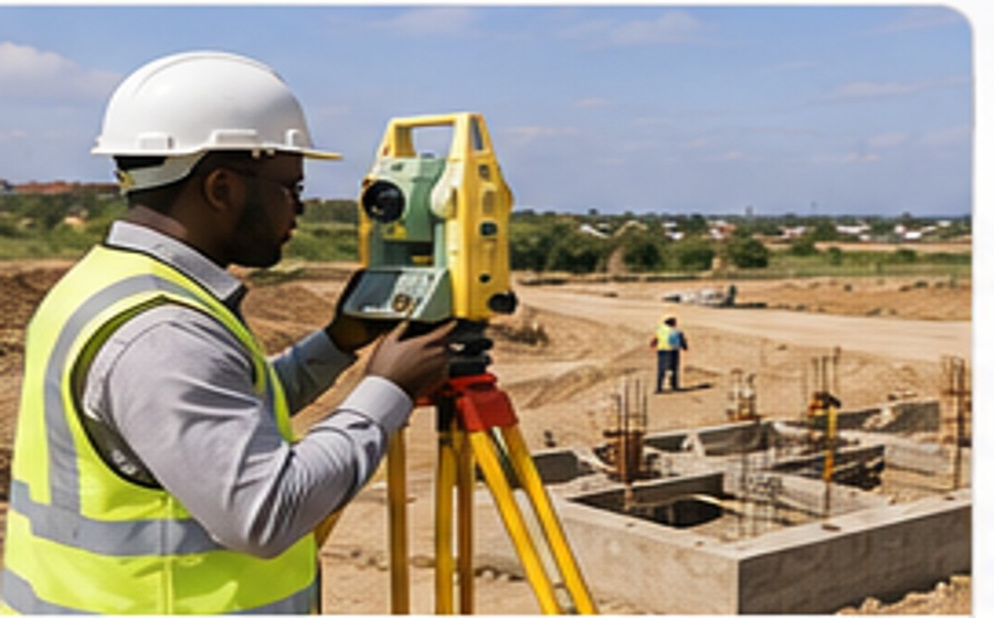
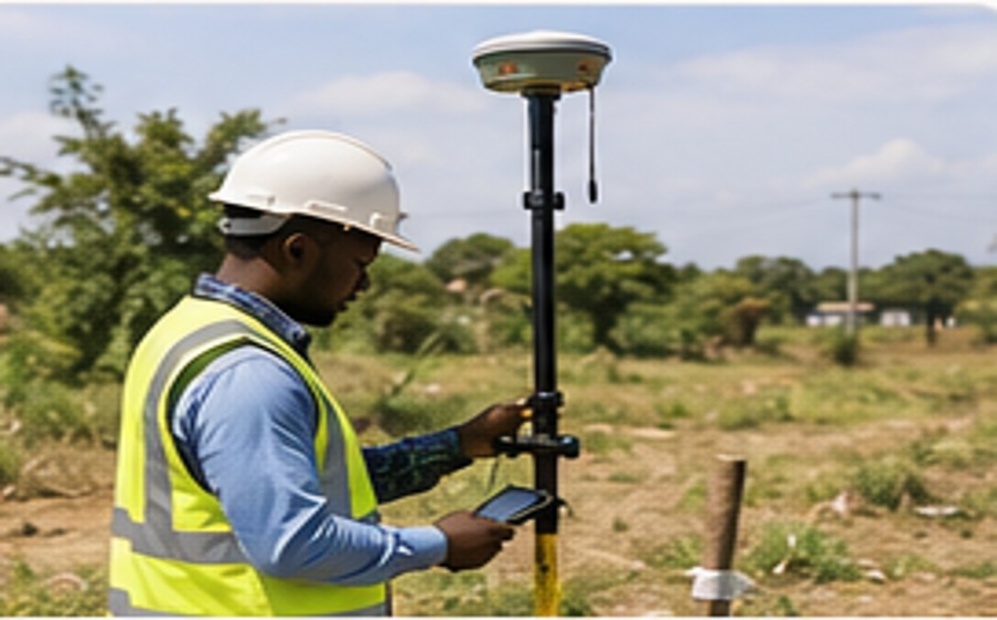
Cadastral & Boundary Surveys
Boundary identification, legal and cadastral surveys, land survey implementation and professional support in boundary disputes.
Seline Consultants Limited provides land, cadastral, engineering and topographical surveys, control surveys, high-precision monitoring and CAD digital mapping for projects across Kenya.
Our services support property owners, developers, architects, engineers, institutions, investors and public-sector projects. Each assignment is planned around its purpose, site conditions, accuracy requirements and expected deliverables.
Boundary identification, legal and cadastral surveys, land survey implementation and professional support in boundary disputes.
Large-scale engineering surveys, construction setting-out, design control checks, progress checks and as-built surveys.
Site and contour surveys at scales appropriate to project requirements, with spot heights, profiles, cross-sections and terrain models.
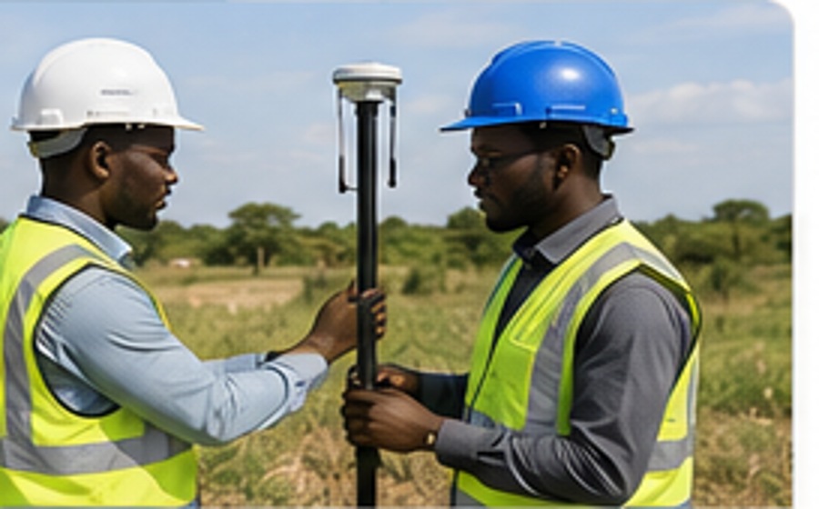
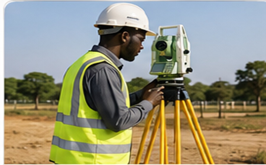
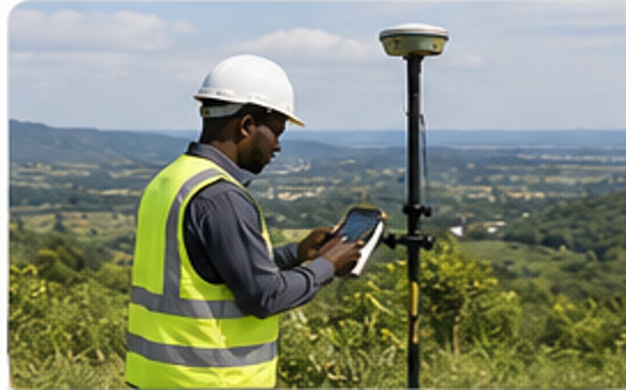
Accurate control frameworks using GPS, GNSS RTK, total stations and EDM equipment to support mapping and construction.
Precise repeat measurements to monitor settlement, subsidence, structural movement and deformation during or after construction.
Digital survey data processing, digitising, CAD mapping, ground modelling and preparation of technical drawings and plans.
Survey-based area measurements, earthworks volume calculations and project-specific quantitative terrain information.
Measured building surveys, sections and elevations, aerial survey ground control and field verification.
Every site has different specifications. We agree on the appropriate scale, control, accuracy and deliverables with each client.
We undertake site and topographical surveys to the scale and detail required. Large-scale plans can be produced at 1:100 or larger. Mapping can include contours, spot heights, longitudinal and cross-sections, volumetric earthworks quantities and digital terrain models.
We consult with design teams to agree suitable grids, datums, height information and presentation formats rather than relying on a single standard specification.
We establish accurate control points using GPS or total station/EDM equipment for mapping and engineering projects. Assignments include housing and estate developments, town centre redevelopment, route profiles for power lines and pipelines, highways, bridges, ports, railways, airports, water and irrigation infrastructure.
Our survey teams can verify design control frameworks, set out construction works, make periodic progress checks and complete as-built surveys. Projects may be priced as a negotiated assignment or supported by equipped survey teams on agreed time rates.
We carry out precise, repeated measurements to assess settlement, subsidence and structural deformation, using suitable electronic equipment, calibrated measurement instruments and precise digital or geodetic levelling methods.
We produce contoured 2D and 3D plans for terrain modelling using total stations and GPS systems. Ground control and field verification can support aerial photography and infrastructure mapping where appropriate.
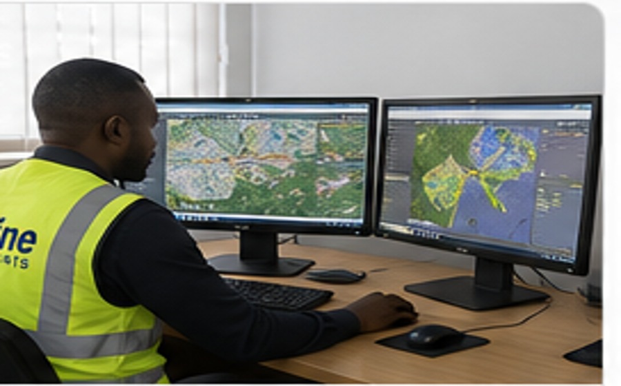
Survey observations are processed through our Mombasa office for digital mapping, digitising, CAD drawings and ground modelling. Our documented software capabilities include AutoCAD and Trimble processing tools.
The distribution below is taken from the company's supplied profile and represents its stated range of activities, not a live workload report.
Equipment and software listed in the company profile. Availability and current versions should be confirmed when requesting a quotation.
Every assignment follows a disciplined workflow to improve accuracy, efficiency and clarity for the client.
We review the project location, purpose, available information and the professional result required.
Appropriate control, equipment and field procedures are selected for accurate and efficient observations.
Survey observations are processed, verified and developed into dependable spatial information.
Plans, maps, coordinates, datasets or reports are delivered with practical explanation and guidance.
Seline Consultants combines professional field experience with GNSS positioning, digital survey instruments, UAV data capture, CAD-based mapping, geodetic control and digital survey processing.